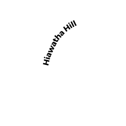
0 HIAWATHA HILL
Owner Information
FITZPATRICK JAYNE
360 HIGH STREET
NEWBURY PORT, MA 01950


Property Details
0 HIAWATHA HILL is classified as a Developable Residential Land.
0 HIAWATHA HILL is valued at $26,300. The land is valued at $26,300 and the structures are valued at $0.
This property is in Zone R1. Confirm with local Zoning Board authorities to ensure there are no overlays or other easements on this property.
The most recent deed for 0 HIAWATHA HILL is recorded at the local registrar in Book 3288, Page 50. 0 HIAWATHA HILL was last sold on Friday, July 29, 2005 for $50,000.
Assessment data from fiscal year 2020.
Flood Data
According to the FEMA National Flood Hazard Layer, this property does not appear to be in a flood zone. It may also be in an area not yet reviewed. Nonetheless, confirm this information prior to taking any action.
To view the flood hazards around this property, create a FEMA "Firmette" Map of the area around 0 HIAWATHA HILL.
Broadband Internet Providers
| Provider | Type | Bandwidth (mbps) | |
|---|---|---|---|
| Viasat Inc | Satellite | 35 | 3 |
| HughesNet | Satellite | 25 | 3 |
| GCI Communication Corp. | Satellite | 0 | 0 |
| T-Mobile | Fixed Wireless | 25 | 3 |
| Verizon New England Inc. | DSL | 5 | 0 |
| VSAT Systems, LLC. | Satellite | 2 | 1 |
Broadband service provider data from December 2020.
Adjacent Properties
- 0 JACOBS LADDER ROAD
Developable Residential Land owned by LAFRENIERE DOROTHY - 124 HIAWATHA HILL
Single Family Residential owned by FELLER MICHAEL A & NANCY L - 0 BONNY RIGG HILL ROAD
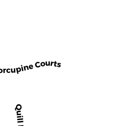
Developable Residential Land owned by SOULES NORMAN JR - 185 PORCUPINE COURTS
Single Family Residential owned by OGRADY MICHAEL & ROBIN - 0 PORCUPINE COURTS
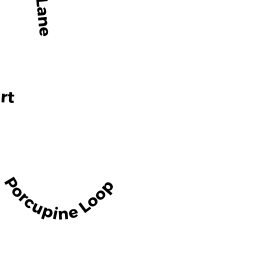
Potentially Developable Residential Land owned by STEPHENSON RAYMOND & LYNNE - 0 PORCUPINE COURTS
Potentially Developable Residential Land owned by PATTERSON MARY L & DOUGLAS L